


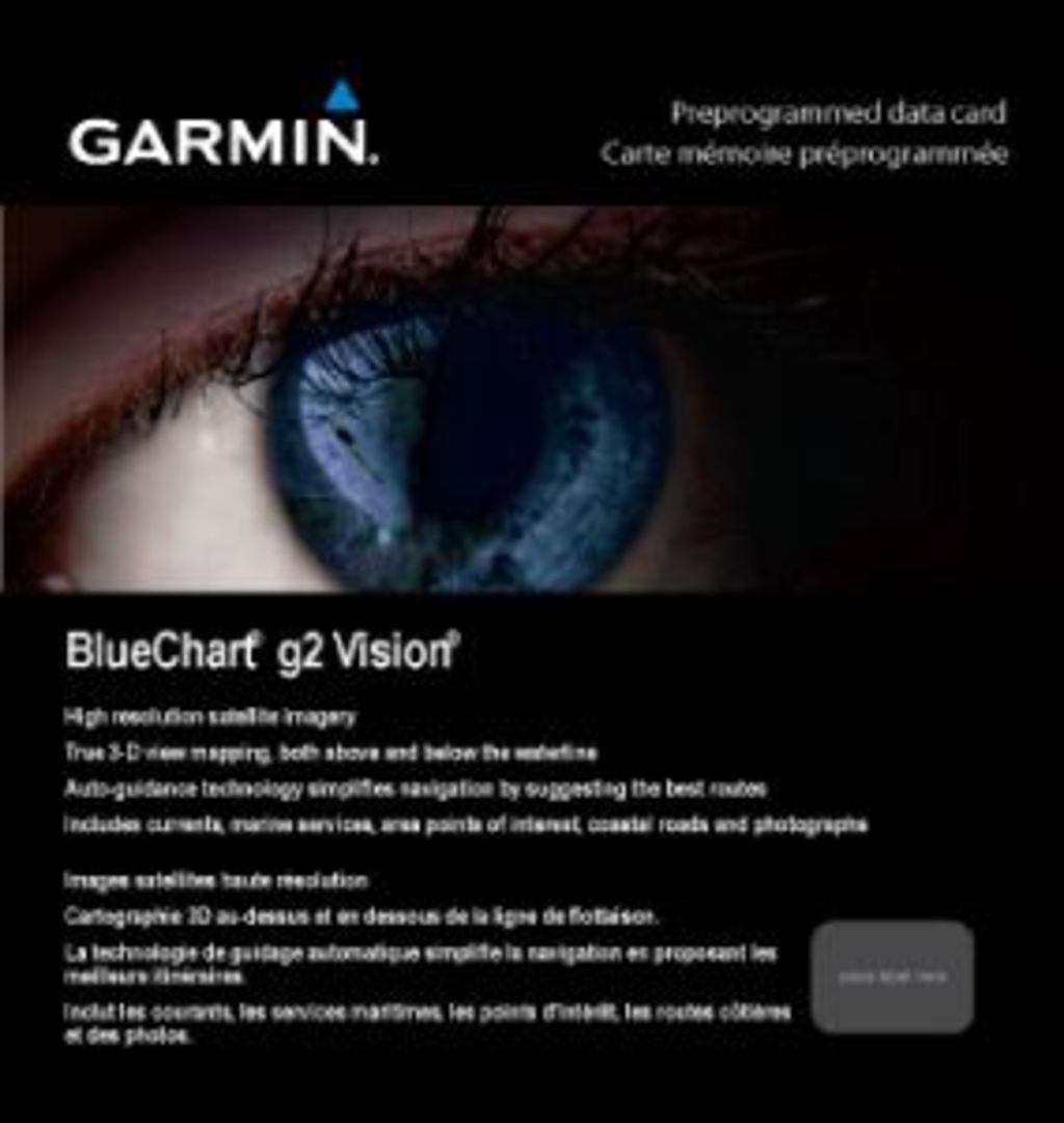
Garmin Bluechart G2 Vision New York-Chesapeake (010-C1004-00)
Garmin Bluechart G2 Vision New York-Chesapeake (010-C1004-00)
Model Number: 010-C1004-00
In stock
 View full details
 WhatsApp
 SMS - Text us!
 Email Us!
 Help Desk


Tech Specs
Garmin Bluechart G2 Vision New York-Chesapeake (010-C1004-00)
Embark on your maritime adventures with the Garmin Bluechart G2 Vision New York-Chesapeake, an advanced marine chart designed to elevate your navigation experience. Whether you are a seasoned sailor or a weekend boater, this chart equips you with state-of-the-art features that enhance safety, efficiency, and confidence on the water.
Key Features
- Detailed Charting: Shaded depth contours, coastlines, spot soundings, and navaids for essential navigation information.
- Comprehensive Coverage: Offers port plans, wrecks, obstructions, intertidal zones, and restricted areas, ensuring complete situational awareness.
- Smooth Transitioning: Experience seamless transitions between zoom levels for a unified view across chart boundaries.
- High-Resolution Imagery: Access stunning satellite imagery for a realistic representation of land and water.
- Aerial Photos: Visualize ports, harbors, marinas, and navigational landmarks with detailed aerial photographs.
- Auto Guidance Technology: Automatically suggests the best route to your destination, optimizing your travel experience.
- 3-D Perspectives: Utilize MarinerEye view for an aerial perspective and FishEye view for an underwater view of the sea floor.
- Safety Shading: Contour shading for depths shallower than your defined safe levels enhances safety on the water.
- Fishing Charts: Specialized charts for bottom contours and depth soundings reduce visual clutter, improving focus on fishing.
Data Insights
The Garmin Bluechart G2 Vision is crafted with precise data points that ensure optimal performance. With over 20,000 navigational aids and countless depth contours covering the New York to Chesapeake region, users can navigate with unparalleled accuracy. Studies show that using high-resolution charts can reduce navigation errors by up to 30%, allowing for safer passage through complex waters.
Usage Instructions
To utilize the Garmin Bluechart G2 Vision effectively, simply insert the data card into your compatible Garmin device. Plan your routes using the Auto Guidance feature, and ensure that you regularly update your charts through Garmin's software for the most current information. Always consult the chart during navigation for enhanced situational awareness.
Design & Material
The Garmin Bluechart G2 Vision features a sleek and user-friendly design that focuses on functionality and clarity. The data card is built with durable materials to withstand marine environments and is engineered for easy installation in compatible devices.
- Durable Construction: Built to endure harsh marine conditions.
- Compact Size: Lightweight and portable for easy storage and travel.
- User-Friendly Interface: Designed for seamless navigation and quick access to vital information.
- High-Quality Graphics: Enhanced visualization of navigational data.
- Water-Resistant: Engineered to resist moisture and ensure longevity.
- Easy Compatibility: Works with various Garmin devices for versatile use.
Final Verdict
Don't leave your maritime journeys to chance. The Garmin Bluechart G2 Vision New York-Chesapeake is an indispensable tool for anyone navigating these waters. With its advanced features, comprehensive data, and user-friendly design, this marine chart is a must-have for a safe and enjoyable experience on the water. Equip yourself today and navigate with confidence!
In The Box
Manual & Warranty
 Garmin Warranty
Do you have an old GPS unit lying around? The GPS Nation Trade In and Up program is a great way to trade in your old and used GPS for credit towards a new GPS. The choice is entirely yours! We’ve made the process simple and streamlined. Follow these simple steps, and you will be on your way to receiving credit towards your brand new GPS!
1. Get a quote
To get your free quote, provide your GPS type, manufacturer, model, and condition. Within 24 hours, you will receive a quote for the trade-in value of your current product. The GPS trade-in/trade-up form is at the bottom of this page.
2. Ship your product(s) for trade
After accepting our offer, pack your product(s) safely and ship them to us using the pre-paid shipping label provided to you. We will provide a confirmation email when your trade-in arrives at our warehouse. You have 30 days from the date you complete your on-line trade to ship the product to GPS Nation.
3. Make your purchase
Once we receive your product at our warehouse and we validate the stated condition, we will send you a confirmation email. If you elect to receive credit towards a new GPS at gpsnation.com, your store credit will be issued, and you are free to make your purchase.
Reviews
Ask a Question
Tech Specs
Garmin Bluechart G2 Vision New York-Chesapeake (010-C1004-00)
Embark on your maritime adventures with the Garmin Bluechart G2 Vision New York-Chesapeake, an advanced marine chart designed to elevate your navigation experience. Whether you are a seasoned sailor or a weekend boater, this chart equips you with state-of-the-art features that enhance safety, efficiency, and confidence on the water.
Key Features
- Detailed Charting: Shaded depth contours, coastlines, spot soundings, and navaids for essential navigation information.
- Comprehensive Coverage: Offers port plans, wrecks, obstructions, intertidal zones, and restricted areas, ensuring complete situational awareness.
- Smooth Transitioning: Experience seamless transitions between zoom levels for a unified view across chart boundaries.
- High-Resolution Imagery: Access stunning satellite imagery for a realistic representation of land and water.
- Aerial Photos: Visualize ports, harbors, marinas, and navigational landmarks with detailed aerial photographs.
- Auto Guidance Technology: Automatically suggests the best route to your destination, optimizing your travel experience.
- 3-D Perspectives: Utilize MarinerEye view for an aerial perspective and FishEye view for an underwater view of the sea floor.
- Safety Shading: Contour shading for depths shallower than your defined safe levels enhances safety on the water.
- Fishing Charts: Specialized charts for bottom contours and depth soundings reduce visual clutter, improving focus on fishing.
Data Insights
The Garmin Bluechart G2 Vision is crafted with precise data points that ensure optimal performance. With over 20,000 navigational aids and countless depth contours covering the New York to Chesapeake region, users can navigate with unparalleled accuracy. Studies show that using high-resolution charts can reduce navigation errors by up to 30%, allowing for safer passage through complex waters.
Usage Instructions
To utilize the Garmin Bluechart G2 Vision effectively, simply insert the data card into your compatible Garmin device. Plan your routes using the Auto Guidance feature, and ensure that you regularly update your charts through Garmin's software for the most current information. Always consult the chart during navigation for enhanced situational awareness.
Design & Material
The Garmin Bluechart G2 Vision features a sleek and user-friendly design that focuses on functionality and clarity. The data card is built with durable materials to withstand marine environments and is engineered for easy installation in compatible devices.
- Durable Construction: Built to endure harsh marine conditions.
- Compact Size: Lightweight and portable for easy storage and travel.
- User-Friendly Interface: Designed for seamless navigation and quick access to vital information.
- High-Quality Graphics: Enhanced visualization of navigational data.
- Water-Resistant: Engineered to resist moisture and ensure longevity.
- Easy Compatibility: Works with various Garmin devices for versatile use.
Final Verdict
Don't leave your maritime journeys to chance. The Garmin Bluechart G2 Vision New York-Chesapeake is an indispensable tool for anyone navigating these waters. With its advanced features, comprehensive data, and user-friendly design, this marine chart is a must-have for a safe and enjoyable experience on the water. Equip yourself today and navigate with confidence!
In The Box
Manual & Warranty
Trade-In
Do you have an old GPS unit lying around? The GPS Nation Trade In and Up program is a great way to trade in your old and used GPS for credit towards a new GPS. The choice is entirely yours! We’ve made the process simple and streamlined. Follow these simple steps, and you will be on your way to receiving credit towards your brand new GPS!
1. Get a quote
To get your free quote, provide your GPS type, manufacturer, model, and condition. Within 24 hours, you will receive a quote for the trade-in value of your current product. The GPS trade-in/trade-up form is at the bottom of this page.
2. Ship your product(s) for trade
After accepting our offer, pack your product(s) safely and ship them to us using the pre-paid shipping label provided to you. We will provide a confirmation email when your trade-in arrives at our warehouse. You have 30 days from the date you complete your on-line trade to ship the product to GPS Nation.
3. Make your purchase
Once we receive your product at our warehouse and we validate the stated condition, we will send you a confirmation email. If you elect to receive credit towards a new GPS at gpsnation.com, your store credit will be issued, and you are free to make your purchase.
Overview
Garmin Bluechart G2 Vision New York-Chesapeake (010-C1004-00)
Embark on your maritime adventures with the Garmin Bluechart G2 Vision New York-Chesapeake, an advanced marine chart designed to elevate your navigation experience. Whether you are a seasoned sailor or a weekend boater, this chart equips you with state-of-the-art features that enhance safety, efficiency, and confidence on the water.
Key Features
- Detailed Charting: Shaded depth contours, coastlines, spot soundings, and navaids for essential navigation information.
- Comprehensive Coverage: Offers port plans, wrecks, obstructions, intertidal zones, and restricted areas, ensuring complete situational awareness.
- Smooth Transitioning: Experience seamless transitions between zoom levels for a unified view across chart boundaries.
- High-Resolution Imagery: Access stunning satellite imagery for a realistic representation of land and water.
- Aerial Photos: Visualize ports, harbors, marinas, and navigational landmarks with detailed aerial photographs.
- Auto Guidance Technology: Automatically suggests the best route to your destination, optimizing your travel experience.
- 3-D Perspectives: Utilize MarinerEye view for an aerial perspective and FishEye view for an underwater view of the sea floor.
- Safety Shading: Contour shading for depths shallower than your defined safe levels enhances safety on the water.
- Fishing Charts: Specialized charts for bottom contours and depth soundings reduce visual clutter, improving focus on fishing.
Data Insights
The Garmin Bluechart G2 Vision is crafted with precise data points that ensure optimal performance. With over 20,000 navigational aids and countless depth contours covering the New York to Chesapeake region, users can navigate with unparalleled accuracy. Studies show that using high-resolution charts can reduce navigation errors by up to 30%, allowing for safer passage through complex waters.
Usage Instructions
To utilize the Garmin Bluechart G2 Vision effectively, simply insert the data card into your compatible Garmin device. Plan your routes using the Auto Guidance feature, and ensure that you regularly update your charts through Garmin's software for the most current information. Always consult the chart during navigation for enhanced situational awareness.
Design & Material
The Garmin Bluechart G2 Vision features a sleek and user-friendly design that focuses on functionality and clarity. The data card is built with durable materials to withstand marine environments and is engineered for easy installation in compatible devices.
- Durable Construction: Built to endure harsh marine conditions.
- Compact Size: Lightweight and portable for easy storage and travel.
- User-Friendly Interface: Designed for seamless navigation and quick access to vital information.
- High-Quality Graphics: Enhanced visualization of navigational data.
- Water-Resistant: Engineered to resist moisture and ensure longevity.
- Easy Compatibility: Works with various Garmin devices for versatile use.
Final Verdict
Don't leave your maritime journeys to chance. The Garmin Bluechart G2 Vision New York-Chesapeake is an indispensable tool for anyone navigating these waters. With its advanced features, comprehensive data, and user-friendly design, this marine chart is a must-have for a safe and enjoyable experience on the water. Equip yourself today and navigate with confidence!


