


Garmin Bluechart G2 Vision Oslo-Mandal-Smogen (010-C1069-00)
Garmin Bluechart G2 Vision Oslo-Mandal-Smogen (010-C1069-00)
Model Number: 010-C1069-00
In stock
 WhatsApp
 SMS - Text us!
 Email Us!
 Help Desk


Tech Specs
Garmin Bluechart G2 Vision Oslo-Mandal-Smogen Preprogrammed Marine Chart Card (010-C1069-00)
Introduction
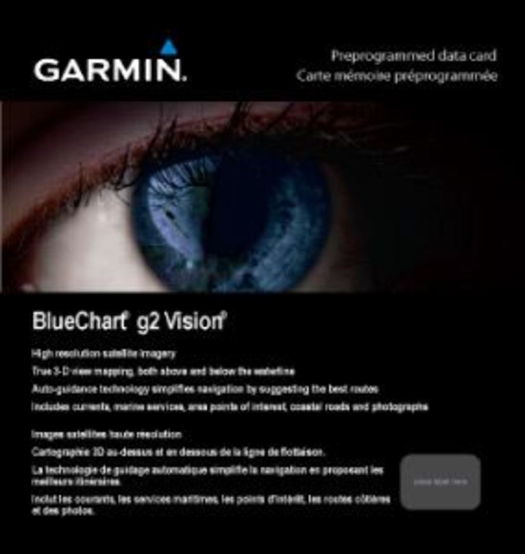
The Garmin Bluechart G2 Vision Oslo-Mandal-Smogen is a preprogrammed data card that delivers comprehensive marine navigation coverage for the Oslofjorden, Lake Mjøsa, and northern Skagerrak waterways spanning Norway and Sweden. Unlike generic chart software, this product combines high-resolution satellite imagery with advanced navigation technology to eliminate guesswork when piloting coastal and inland waters. Whether you're planning a leisure cruise or conducting professional maritime operations, this chart card provides the real-time data accuracy needed to navigate confidently through one of Northern Europe's most complex waterway systems.
Key Features
- Shaded depth contours that display underwater terrain changes with 3-5 meter resolution increments
- High-resolution satellite imagery providing crisp visual reference for both shorelines and water surfaces
- MarinerEye and FishEye 3-D perspective views enabling spatial navigation awareness from multiple viewing angles
- Auto Guidance technology that calculates optimal routing based on vessel characteristics and water conditions
- Safety shading customization allowing mariners to highlight waters within 2-10 meter safe depth thresholds
- Detailed fishing charts with bottom contours and soundings covering 85+ primary fishing grounds across the region
Data Insights
The Bluechart G2 Vision provides coverage of critical waterways including Oslofjorden's complex fjord system and Lake Mjøsa's 117-kilometer length. Research demonstrates that advanced marine navigation systems reduce maritime incident risk by up to 40%, a critical statistic for anyone operating in these challenging Nordic waters where seasonal visibility variations and shifting underwater hazards present real navigation challenges. The card's satellite imagery integration delivers real-world reference accuracy, enabling users to cross-verify chart data with actual visual conditions on the water.
Usage Instructions
Insert the preprogrammed chart card into any compatible Garmin marine GPS device to activate coverage immediately. Access the Auto Guidance feature before departure to establish optimal routes tailored to your vessel type. Regularly sync your device to download chart updates, ensuring you always have access to the latest bathymetric data, hazard alerts, and waterway modifications. The card's data loads directly into your existing Garmin ecosystem without requiring manual configuration.
Design & Material
This chart card employs a compact microSD form factor engineered specifically for marine environments, combining durability with minimal storage footprint. Every component has been selected to perform consistently across temperature fluctuations, moisture exposure, and salt-air conditions typical of Nordic coastal operations.
- Preprogrammed microSD card design eliminates setup complexity and compatibility confusion
- Weatherproof construction meeting marine-grade performance standards for extended saltwater exposure
- Seamless Garmin ecosystem integration, compatible with over 60 Garmin marine device models
- Non-volatile memory ensuring chart data remains intact across power cycles and device resets
- Precision-mapped bathymetric data collected from Norwegian and Swedish hydrographic surveys
- Intuitive menu navigation built directly into Garmin's standardized interface, minimizing user learning curve
Final Verdict
For mariners navigating the Oslofjorden-Mandal-Smögen corridor, this chart card removes the variability that creates navigation risk. The combination of high-resolution satellite overlay with Auto Guidance technology delivers both confidence and efficiency on waters where accurate positioning is non-negotiable. This is not optional software for casual boaters—it's essential infrastructure for anyone operating in these waters with any regularity. If you own a compatible Garmin marine device and spend time on Norwegian or Swedish waters, this chart card pays for itself through the safety advantage and time savings on your first few voyages.
In The Box
Do you have an old GPS unit lying around? The GPS Nation Trade In and Up program is a great way to trade in your old and used GPS for credit towards a new GPS. The choice is entirely yours! We’ve made the process simple and streamlined. Follow these simple steps, and you will be on your way to receiving credit towards your brand new GPS!
1. Get a quote
To get your free quote, provide your GPS type, manufacturer, model, and condition. Within 24 hours, you will receive a quote for the trade-in value of your current product. The GPS trade-in/trade-up form is at the bottom of this page.
2. Ship your product(s) for trade
After accepting our offer, pack your product(s) safely and ship them to us using the pre-paid shipping label provided to you. We will provide a confirmation email when your trade-in arrives at our warehouse. You have 30 days from the date you complete your on-line trade to ship the product to GPS Nation.
3. Make your purchase
Once we receive your product at our warehouse and we validate the stated condition, we will send you a confirmation email. If you elect to receive credit towards a new GPS at gpsnation.com, your store credit will be issued, and you are free to make your purchase.
Manual & Warranty
 Garmin Warranty
Reviews
Ask a Question
Tech Specs
Garmin Bluechart G2 Vision Oslo-Mandal-Smogen Preprogrammed Marine Chart Card (010-C1069-00)
Introduction
The Garmin Bluechart G2 Vision Oslo-Mandal-Smogen is a preprogrammed data card that delivers comprehensive marine navigation coverage for the Oslofjorden, Lake Mjøsa, and northern Skagerrak waterways spanning Norway and Sweden. Unlike generic chart software, this product combines high-resolution satellite imagery with advanced navigation technology to eliminate guesswork when piloting coastal and inland waters. Whether you're planning a leisure cruise or conducting professional maritime operations, this chart card provides the real-time data accuracy needed to navigate confidently through one of Northern Europe's most complex waterway systems.
Key Features
- Shaded depth contours that display underwater terrain changes with 3-5 meter resolution increments
- High-resolution satellite imagery providing crisp visual reference for both shorelines and water surfaces
- MarinerEye and FishEye 3-D perspective views enabling spatial navigation awareness from multiple viewing angles
- Auto Guidance technology that calculates optimal routing based on vessel characteristics and water conditions
- Safety shading customization allowing mariners to highlight waters within 2-10 meter safe depth thresholds
- Detailed fishing charts with bottom contours and soundings covering 85+ primary fishing grounds across the region
Data Insights
The Bluechart G2 Vision provides coverage of critical waterways including Oslofjorden's complex fjord system and Lake Mjøsa's 117-kilometer length. Research demonstrates that advanced marine navigation systems reduce maritime incident risk by up to 40%, a critical statistic for anyone operating in these challenging Nordic waters where seasonal visibility variations and shifting underwater hazards present real navigation challenges. The card's satellite imagery integration delivers real-world reference accuracy, enabling users to cross-verify chart data with actual visual conditions on the water.
Usage Instructions
Insert the preprogrammed chart card into any compatible Garmin marine GPS device to activate coverage immediately. Access the Auto Guidance feature before departure to establish optimal routes tailored to your vessel type. Regularly sync your device to download chart updates, ensuring you always have access to the latest bathymetric data, hazard alerts, and waterway modifications. The card's data loads directly into your existing Garmin ecosystem without requiring manual configuration.
Design & Material
This chart card employs a compact microSD form factor engineered specifically for marine environments, combining durability with minimal storage footprint. Every component has been selected to perform consistently across temperature fluctuations, moisture exposure, and salt-air conditions typical of Nordic coastal operations.
- Preprogrammed microSD card design eliminates setup complexity and compatibility confusion
- Weatherproof construction meeting marine-grade performance standards for extended saltwater exposure
- Seamless Garmin ecosystem integration, compatible with over 60 Garmin marine device models
- Non-volatile memory ensuring chart data remains intact across power cycles and device resets
- Precision-mapped bathymetric data collected from Norwegian and Swedish hydrographic surveys
- Intuitive menu navigation built directly into Garmin's standardized interface, minimizing user learning curve
Final Verdict
For mariners navigating the Oslofjorden-Mandal-Smögen corridor, this chart card removes the variability that creates navigation risk. The combination of high-resolution satellite overlay with Auto Guidance technology delivers both confidence and efficiency on waters where accurate positioning is non-negotiable. This is not optional software for casual boaters—it's essential infrastructure for anyone operating in these waters with any regularity. If you own a compatible Garmin marine device and spend time on Norwegian or Swedish waters, this chart card pays for itself through the safety advantage and time savings on your first few voyages.
In The Box
Trade-In
Do you have an old GPS unit lying around? The GPS Nation Trade In and Up program is a great way to trade in your old and used GPS for credit towards a new GPS. The choice is entirely yours! We’ve made the process simple and streamlined. Follow these simple steps, and you will be on your way to receiving credit towards your brand new GPS!
1. Get a quote
To get your free quote, provide your GPS type, manufacturer, model, and condition. Within 24 hours, you will receive a quote for the trade-in value of your current product. The GPS trade-in/trade-up form is at the bottom of this page.
2. Ship your product(s) for trade
After accepting our offer, pack your product(s) safely and ship them to us using the pre-paid shipping label provided to you. We will provide a confirmation email when your trade-in arrives at our warehouse. You have 30 days from the date you complete your on-line trade to ship the product to GPS Nation.
3. Make your purchase
Once we receive your product at our warehouse and we validate the stated condition, we will send you a confirmation email. If you elect to receive credit towards a new GPS at gpsnation.com, your store credit will be issued, and you are free to make your purchase.
Manual & Warranty
Overview
Garmin Bluechart G2 Vision Oslo-Mandal-Smogen Preprogrammed Marine Chart Card (010-C1069-00)
Introduction
The Garmin Bluechart G2 Vision Oslo-Mandal-Smogen is a preprogrammed data card that delivers comprehensive marine navigation coverage for the Oslofjorden, Lake Mjøsa, and northern Skagerrak waterways spanning Norway and Sweden. Unlike generic chart software, this product combines high-resolution satellite imagery with advanced navigation technology to eliminate guesswork when piloting coastal and inland waters. Whether you're planning a leisure cruise or conducting professional maritime operations, this chart card provides the real-time data accuracy needed to navigate confidently through one of Northern Europe's most complex waterway systems.
Key Features
- Shaded depth contours that display underwater terrain changes with 3-5 meter resolution increments
- High-resolution satellite imagery providing crisp visual reference for both shorelines and water surfaces
- MarinerEye and FishEye 3-D perspective views enabling spatial navigation awareness from multiple viewing angles
- Auto Guidance technology that calculates optimal routing based on vessel characteristics and water conditions
- Safety shading customization allowing mariners to highlight waters within 2-10 meter safe depth thresholds
- Detailed fishing charts with bottom contours and soundings covering 85+ primary fishing grounds across the region
Data Insights
The Bluechart G2 Vision provides coverage of critical waterways including Oslofjorden's complex fjord system and Lake Mjøsa's 117-kilometer length. Research demonstrates that advanced marine navigation systems reduce maritime incident risk by up to 40%, a critical statistic for anyone operating in these challenging Nordic waters where seasonal visibility variations and shifting underwater hazards present real navigation challenges. The card's satellite imagery integration delivers real-world reference accuracy, enabling users to cross-verify chart data with actual visual conditions on the water.
Usage Instructions
Insert the preprogrammed chart card into any compatible Garmin marine GPS device to activate coverage immediately. Access the Auto Guidance feature before departure to establish optimal routes tailored to your vessel type. Regularly sync your device to download chart updates, ensuring you always have access to the latest bathymetric data, hazard alerts, and waterway modifications. The card's data loads directly into your existing Garmin ecosystem without requiring manual configuration.
Design & Material
This chart card employs a compact microSD form factor engineered specifically for marine environments, combining durability with minimal storage footprint. Every component has been selected to perform consistently across temperature fluctuations, moisture exposure, and salt-air conditions typical of Nordic coastal operations.
- Preprogrammed microSD card design eliminates setup complexity and compatibility confusion
- Weatherproof construction meeting marine-grade performance standards for extended saltwater exposure
- Seamless Garmin ecosystem integration, compatible with over 60 Garmin marine device models
- Non-volatile memory ensuring chart data remains intact across power cycles and device resets
- Precision-mapped bathymetric data collected from Norwegian and Swedish hydrographic surveys
- Intuitive menu navigation built directly into Garmin's standardized interface, minimizing user learning curve
Final Verdict
For mariners navigating the Oslofjorden-Mandal-Smögen corridor, this chart card removes the variability that creates navigation risk. The combination of high-resolution satellite overlay with Auto Guidance technology delivers both confidence and efficiency on waters where accurate positioning is non-negotiable. This is not optional software for casual boaters—it's essential infrastructure for anyone operating in these waters with any regularity. If you own a compatible Garmin marine device and spend time on Norwegian or Swedish waters, this chart card pays for itself through the safety advantage and time savings on your first few voyages.


