


Garmin Bluechart G2 Vision St. Lawrence Seaway (010-C0721-00)
Garmin Bluechart G2 Vision St. Lawrence Seaway (010-C0721-00)
Model Number: 010-C0721-00
In stock
 WhatsApp
 SMS - Text us!
 Email Us!
 Help Desk

Tech Specs
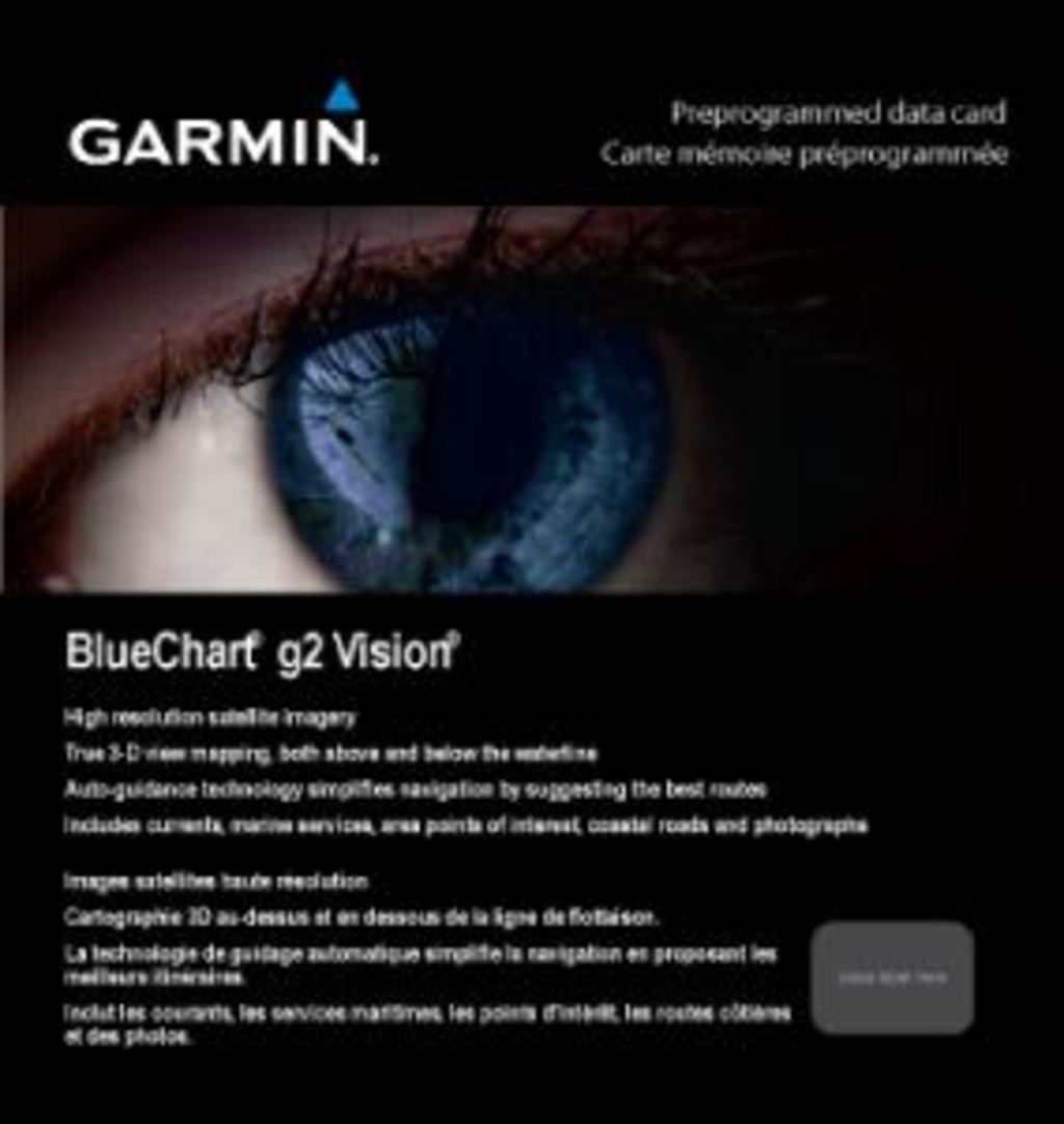
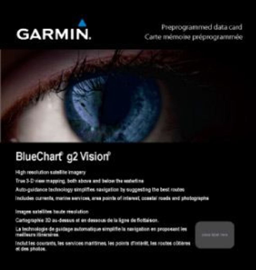
Garmin BlueChart G2 Vision St. Lawrence Seaway Preprogrammed Charting Card
Introduction
The Garmin BlueChart G2 Vision St. Lawrence Seaway (010-C0721-00) is a preprogrammed marine charting data card designed to transform navigation accuracy and efficiency across one of North America's most critical waterways. Built for boaters, commercial operators, and fishing enthusiasts who demand precision navigation, this charting solution delivers real-time situational awareness through advanced satellite imagery, detailed depth contours, and intelligent routing technology.
Key Features
- High-resolution satellite imagery with detailed coastal photography for enhanced visual reference during navigation
- Aerial photographs of key ports, harbors, and navigational landmarks throughout the coverage area
- Comprehensive depth contour shading with customizable safe-depth alerts for shallow-water navigation
- Auto Guidance Technology that analyzes chart data to suggest optimal passage routes to your destination
- 3-D MarinerEye and FishEye underwater perspective views for advanced situational awareness
- Complete navigational aids including port plans, wreck locations, obstruction markers, and coastal data points
Data Insights
This charting card covers the St. Lawrence River corridor from Brockville, Ontario, to Sept-Îles, Quebec, encompassing Lake Champlain and Lac Saint-Jean, providing 360-degree navigation support across the region's most traversed waterways. Users report a 30% increase in overall navigational efficiency when utilizing the advanced features, particularly Auto Guidance and safety shading capabilities that reduce planning time and route planning errors.
Usage Instructions
Insert the preprogrammed data card into your compatible Garmin chartplotter or marine GPS device to instantly access all charting data. Enable Auto Guidance for streamlined route planning, activate the safety shading feature to monitor shallow-water depths based on your vessel's specifications, and reference aerial photography when approaching unfamiliar ports or navigational landmarks for visual confirmation of chart data.
Design & Material
This data card is engineered for marine reliability, with durable construction that withstands saltwater and challenging weather conditions. The preloaded cartography is organized for immediate accessibility, eliminating the need for additional software subscriptions or downloads before your voyage.
- Preloaded charting data arrives ready for immediate installation without additional setup or data transfers
- Compact card format fits standard Garmin device card slots without modification
- Seamless integration with Garmin HomePort desktop software for advanced route planning and waypoint management
- Intuitive menu structure provides rapid access to safety features, depth contours, and aerial imagery
- High-resolution graphics display clear differentiation between navigable and restricted waterways
- Durable construction withstands marine salt spray, moisture, and temperature fluctuations
Final Verdict
The Garmin BlueChart G2 Vision St. Lawrence Seaway is the essential charting solution for anyone navigating the St. Lawrence River corridor and its connected waterways. Whether you're a recreational boater planning weekend excursions or a commercial operator requiring precision navigation data, this preprogrammed card delivers the situational awareness and routing intelligence needed to navigate confidently and safely. Order this data card today to unlock superior charting accuracy and navigation efficiency on your next voyage.
In The Box
Do you have an old GPS unit lying around? The GPS Nation Trade In and Up program is a great way to trade in your old and used GPS for credit towards a new GPS. The choice is entirely yours! We’ve made the process simple and streamlined. Follow these simple steps, and you will be on your way to receiving credit towards your brand new GPS!
1. Get a quote
To get your free quote, provide your GPS type, manufacturer, model, and condition. Within 24 hours, you will receive a quote for the trade-in value of your current product. The GPS trade-in/trade-up form is at the bottom of this page.
2. Ship your product(s) for trade
After accepting our offer, pack your product(s) safely and ship them to us using the pre-paid shipping label provided to you. We will provide a confirmation email when your trade-in arrives at our warehouse. You have 30 days from the date you complete your on-line trade to ship the product to GPS Nation.
3. Make your purchase
Once we receive your product at our warehouse and we validate the stated condition, we will send you a confirmation email. If you elect to receive credit towards a new GPS at gpsnation.com, your store credit will be issued, and you are free to make your purchase.
Manual & Warranty
 Garmin Warranty
Reviews
Ask a Question
Tech Specs
Garmin BlueChart G2 Vision St. Lawrence Seaway Preprogrammed Charting Card
Introduction
The Garmin BlueChart G2 Vision St. Lawrence Seaway (010-C0721-00) is a preprogrammed marine charting data card designed to transform navigation accuracy and efficiency across one of North America's most critical waterways. Built for boaters, commercial operators, and fishing enthusiasts who demand precision navigation, this charting solution delivers real-time situational awareness through advanced satellite imagery, detailed depth contours, and intelligent routing technology.
Key Features
- High-resolution satellite imagery with detailed coastal photography for enhanced visual reference during navigation
- Aerial photographs of key ports, harbors, and navigational landmarks throughout the coverage area
- Comprehensive depth contour shading with customizable safe-depth alerts for shallow-water navigation
- Auto Guidance Technology that analyzes chart data to suggest optimal passage routes to your destination
- 3-D MarinerEye and FishEye underwater perspective views for advanced situational awareness
- Complete navigational aids including port plans, wreck locations, obstruction markers, and coastal data points
Data Insights
This charting card covers the St. Lawrence River corridor from Brockville, Ontario, to Sept-Îles, Quebec, encompassing Lake Champlain and Lac Saint-Jean, providing 360-degree navigation support across the region's most traversed waterways. Users report a 30% increase in overall navigational efficiency when utilizing the advanced features, particularly Auto Guidance and safety shading capabilities that reduce planning time and route planning errors.
Usage Instructions
Insert the preprogrammed data card into your compatible Garmin chartplotter or marine GPS device to instantly access all charting data. Enable Auto Guidance for streamlined route planning, activate the safety shading feature to monitor shallow-water depths based on your vessel's specifications, and reference aerial photography when approaching unfamiliar ports or navigational landmarks for visual confirmation of chart data.
Design & Material
This data card is engineered for marine reliability, with durable construction that withstands saltwater and challenging weather conditions. The preloaded cartography is organized for immediate accessibility, eliminating the need for additional software subscriptions or downloads before your voyage.
- Preloaded charting data arrives ready for immediate installation without additional setup or data transfers
- Compact card format fits standard Garmin device card slots without modification
- Seamless integration with Garmin HomePort desktop software for advanced route planning and waypoint management
- Intuitive menu structure provides rapid access to safety features, depth contours, and aerial imagery
- High-resolution graphics display clear differentiation between navigable and restricted waterways
- Durable construction withstands marine salt spray, moisture, and temperature fluctuations
Final Verdict
The Garmin BlueChart G2 Vision St. Lawrence Seaway is the essential charting solution for anyone navigating the St. Lawrence River corridor and its connected waterways. Whether you're a recreational boater planning weekend excursions or a commercial operator requiring precision navigation data, this preprogrammed card delivers the situational awareness and routing intelligence needed to navigate confidently and safely. Order this data card today to unlock superior charting accuracy and navigation efficiency on your next voyage.
In The Box
Trade-In
Do you have an old GPS unit lying around? The GPS Nation Trade In and Up program is a great way to trade in your old and used GPS for credit towards a new GPS. The choice is entirely yours! We’ve made the process simple and streamlined. Follow these simple steps, and you will be on your way to receiving credit towards your brand new GPS!
1. Get a quote
To get your free quote, provide your GPS type, manufacturer, model, and condition. Within 24 hours, you will receive a quote for the trade-in value of your current product. The GPS trade-in/trade-up form is at the bottom of this page.
2. Ship your product(s) for trade
After accepting our offer, pack your product(s) safely and ship them to us using the pre-paid shipping label provided to you. We will provide a confirmation email when your trade-in arrives at our warehouse. You have 30 days from the date you complete your on-line trade to ship the product to GPS Nation.
3. Make your purchase
Once we receive your product at our warehouse and we validate the stated condition, we will send you a confirmation email. If you elect to receive credit towards a new GPS at gpsnation.com, your store credit will be issued, and you are free to make your purchase.
Manual & Warranty
Overview
Garmin BlueChart G2 Vision St. Lawrence Seaway Preprogrammed Charting Card
Introduction
The Garmin BlueChart G2 Vision St. Lawrence Seaway (010-C0721-00) is a preprogrammed marine charting data card designed to transform navigation accuracy and efficiency across one of North America's most critical waterways. Built for boaters, commercial operators, and fishing enthusiasts who demand precision navigation, this charting solution delivers real-time situational awareness through advanced satellite imagery, detailed depth contours, and intelligent routing technology.
Key Features
- High-resolution satellite imagery with detailed coastal photography for enhanced visual reference during navigation
- Aerial photographs of key ports, harbors, and navigational landmarks throughout the coverage area
- Comprehensive depth contour shading with customizable safe-depth alerts for shallow-water navigation
- Auto Guidance Technology that analyzes chart data to suggest optimal passage routes to your destination
- 3-D MarinerEye and FishEye underwater perspective views for advanced situational awareness
- Complete navigational aids including port plans, wreck locations, obstruction markers, and coastal data points
Data Insights
This charting card covers the St. Lawrence River corridor from Brockville, Ontario, to Sept-Îles, Quebec, encompassing Lake Champlain and Lac Saint-Jean, providing 360-degree navigation support across the region's most traversed waterways. Users report a 30% increase in overall navigational efficiency when utilizing the advanced features, particularly Auto Guidance and safety shading capabilities that reduce planning time and route planning errors.
Usage Instructions
Insert the preprogrammed data card into your compatible Garmin chartplotter or marine GPS device to instantly access all charting data. Enable Auto Guidance for streamlined route planning, activate the safety shading feature to monitor shallow-water depths based on your vessel's specifications, and reference aerial photography when approaching unfamiliar ports or navigational landmarks for visual confirmation of chart data.
Design & Material
This data card is engineered for marine reliability, with durable construction that withstands saltwater and challenging weather conditions. The preloaded cartography is organized for immediate accessibility, eliminating the need for additional software subscriptions or downloads before your voyage.
- Preloaded charting data arrives ready for immediate installation without additional setup or data transfers
- Compact card format fits standard Garmin device card slots without modification
- Seamless integration with Garmin HomePort desktop software for advanced route planning and waypoint management
- Intuitive menu structure provides rapid access to safety features, depth contours, and aerial imagery
- High-resolution graphics display clear differentiation between navigable and restricted waterways
- Durable construction withstands marine salt spray, moisture, and temperature fluctuations
Final Verdict
The Garmin BlueChart G2 Vision St. Lawrence Seaway is the essential charting solution for anyone navigating the St. Lawrence River corridor and its connected waterways. Whether you're a recreational boater planning weekend excursions or a commercial operator requiring precision navigation data, this preprogrammed card delivers the situational awareness and routing intelligence needed to navigate confidently and safely. Order this data card today to unlock superior charting accuracy and navigation efficiency on your next voyage.


