


Garmin ECHOMAP Ultra 2 12" Chartplotters 126sv with GT56UHD-TM Transducer; Includes Garmin Navionics+ U.S. Inland & Coastal Mapping (010-02882-01)
Garmin ECHOMAP Ultra 2 12" Chartplotters 126sv with GT56UHD-TM Transducer; Includes Garmin Navionics+ U.S. Inland & Coastal Mapping (010-02882-01)
Model Number: 010-02882-01
In stock
 WhatsApp
 SMS - Text us!
 Email Us!
 Help Desk
Tech Specs

In The Box
Power/data cable
Bail mount with quick release cradle
Protective sun cover
8-pin transducer to 12-pin sounder adapter cable Hardware
Documentation
Do you have an old GPS unit lying around? The GPS Nation Trade In and Up program is a great way to trade in your old and used GPS for credit towards a new GPS. The choice is entirely yours! We’ve made the process simple and streamlined. Follow these simple steps, and you will be on your way to receiving credit towards your brand new GPS!
1. Get a quote
To get your free quote, provide your GPS type, manufacturer, model, and condition. Within 24 hours, you will receive a quote for the trade-in value of your current product. The GPS trade-in/trade-up form is at the bottom of this page.
2. Ship your product(s) for trade
After accepting our offer, pack your product(s) safely and ship them to us using the pre-paid shipping label provided to you. We will provide a confirmation email when your trade-in arrives at our warehouse. You have 30 days from the date you complete your on-line trade to ship the product to GPS Nation.
3. Make your purchase
Once we receive your product at our warehouse and we validate the stated condition, we will send you a confirmation email. If you elect to receive credit towards a new GPS at gpsnation.com, your store credit will be issued, and you are free to make your purchase.
Manual & Warranty
 Garmin Warranty
Reviews
Ask a Question
Tech Specs
In The Box
Power/data cable
Bail mount with quick release cradle
Protective sun cover
8-pin transducer to 12-pin sounder adapter cable Hardware
Documentation
Trade-In
Do you have an old GPS unit lying around? The GPS Nation Trade In and Up program is a great way to trade in your old and used GPS for credit towards a new GPS. The choice is entirely yours! We’ve made the process simple and streamlined. Follow these simple steps, and you will be on your way to receiving credit towards your brand new GPS!
1. Get a quote
To get your free quote, provide your GPS type, manufacturer, model, and condition. Within 24 hours, you will receive a quote for the trade-in value of your current product. The GPS trade-in/trade-up form is at the bottom of this page.
2. Ship your product(s) for trade
After accepting our offer, pack your product(s) safely and ship them to us using the pre-paid shipping label provided to you. We will provide a confirmation email when your trade-in arrives at our warehouse. You have 30 days from the date you complete your on-line trade to ship the product to GPS Nation.
3. Make your purchase
Once we receive your product at our warehouse and we validate the stated condition, we will send you a confirmation email. If you elect to receive credit towards a new GPS at gpsnation.com, your store credit will be issued, and you are free to make your purchase.
Manual & Warranty
Overview
Garmin ECHOMAP Ultra 2 12" Chartplotter 126sv with GT56UHD-TM Transducer
Introduction
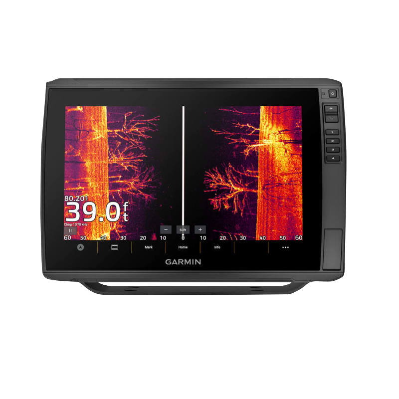
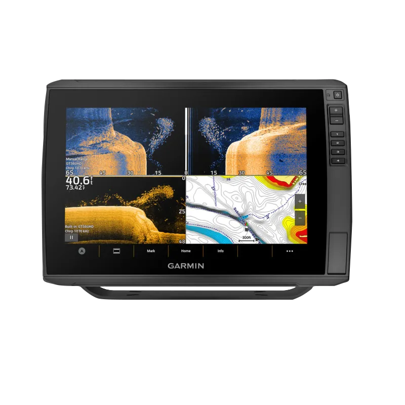
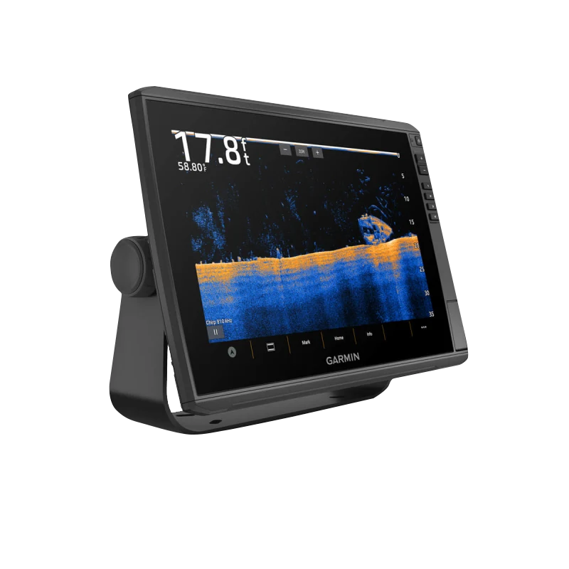
The Garmin ECHOMAP Ultra 2 126sv combines a 12-inch sunlight-readable touchscreen with advanced sonar technology and preloaded navigation mapping, delivering real-time underwater visualization and precise GPS positioning for anglers and boaters. This chartplotter bundle includes the GT56UHD-TM transducer and Garmin Navionics+ U.S. Inland & Coastal Mapping, providing a complete fish-finding and navigation system that performs in bright sunlight, challenging water conditions, and complex navigation scenarios where clarity and accuracy directly impact success on the water.
Key Features
- 12-inch high-resolution touchscreen with sunlight-readable display technology for visibility in direct sun without screen glare
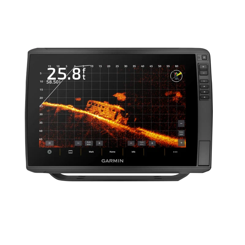
- Ultra-High-Definition sonar with CHIRP Traditional, ClearVü™, and SideVü™ imaging for multi-angle underwater detection and target identification
- GT56UHD-TM transducer with 30% improved clarity compared to standard sonar systems
- LiveScope™ sonar compatibility for real-time live underwater views and dynamic fish behavior analysis
- Multi-band GPS technology with simultaneous reception of GPS, GLONASS, and Galileo satellite signals for fast and accurate positioning even in challenging environments
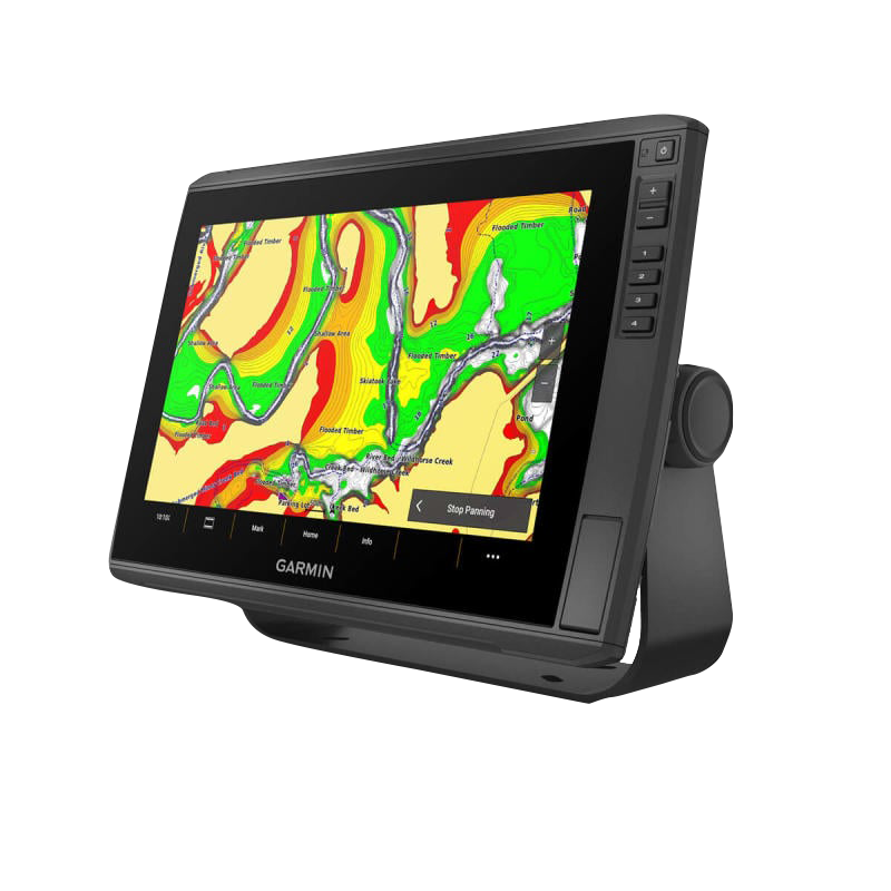
- Preloaded Garmin Navionics+ mapping with 1-foot contour detail and depth shading for U.S. inland lakes and coastal waters
- Wireless networking capabilities to share sonar data, waypoints, and routes with compatible Garmin marine devices via network connectivity
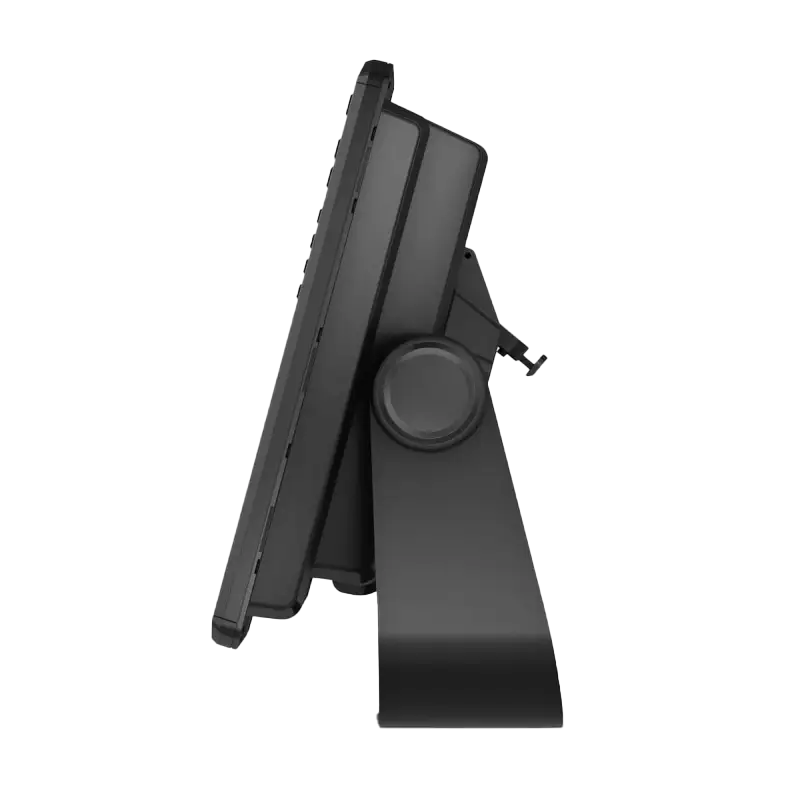
- Quick-disconnect portable mounting design allowing tool-free installation and removal from different vessels
Data Insights
The GT56UHD-TM transducer delivers a 30% improvement in sonar clarity compared to conventional transducers, enabling anglers to distinguish individual fish targets and structure details with unprecedented confidence. Garmin Navionics+ mapping integrates real-time bathymetric updates through the ActiveCaptain community app, ensuring that contour data, depth readings, and bottom composition information remain current across thousands of U.S. lakes and coastal regions. The multi-band GPS receiver processes signals from three independent satellite systems simultaneously, reducing acquisition time and maintaining position accuracy within feet even when standard single-band GPS experiences signal dropout.
Usage Instructions
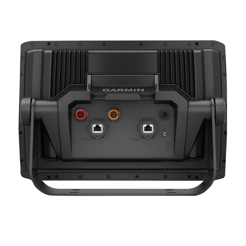
Connect the GT56UHD-TM transducer to the main display unit and power the system. Use the ActiveCaptain mobile app to check for firmware updates and load the latest Garmin Navionics+ map data before heading out. Navigate the intuitive touchscreen interface to select sonar viewing modes (Traditional, ClearVü™, or SideVü™), overlay map layers, and mark waypoints. Customize the screen layout and alarm thresholds to match your fishing technique, then use wireless networking to pair additional compatible marine devices for multi-screen operation across your vessel.
Design & Material
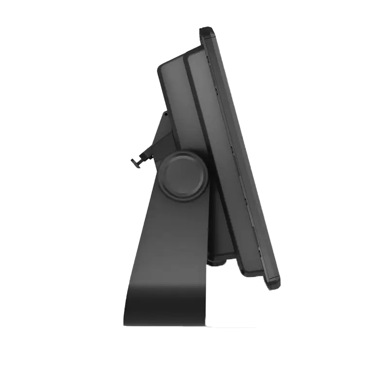
The ECHOMAP Ultra 2 features a modern, purpose-built design engineered for marine environments. The compact footprint and low-profile mounting bracket integrate cleanly into helm spaces without obstructing steering or throttle controls. A gray, textured composite bezel resists glare and reduces reflected light, while the responsive touchscreen combines sensitivity with environmental durability.
- Water-resistant housing sealed to protect internal electronics from saltwater spray, freshwater splash, and moisture intrusion during extended operation
- Durable polymer and composite materials throughout the external casing, rated for repeated thermal cycling and UV exposure
- High-brightness LED backlit display with anti-glare coating and mineral-hardened glass screen to withstand salt residue, scratches, and impacts
- Stainless-steel mounting hardware and corrosion-resistant connectors for long-term reliability in freshwater and saltwater applications
- Quick-disconnect socket design enabling fast swap-out between vessels without rewiring or tool requirements
- Integrated cable management with strain-relief connectors minimizing water ingress at connection points
Final Verdict
The Garmin ECHOMAP Ultra 2 126sv with GT56UHD-TM transducer and Navionics+ mapping delivers integrated fish-finding and navigation capability that eliminates the need for separate devices. Whether you're targeting structure on inland lakes or navigating coastal waterways, the combination of high-definition sonar clarity, real-time satellite positioning, and preloaded depth mapping provides the confidence to fish efficiently and navigate safely in variable conditions. This is an essential upgrade for serious anglers and boating enthusiasts who demand immediate, actionable information on the water. Purchase the Garmin ECHOMAP Ultra 2 126sv today to transform how you fish and navigate.


