


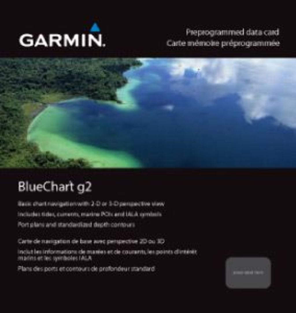
Garmin Irish Sea Charts BlueChart g3 | HXEU004R | microSD/SD
Garmin Irish Sea Charts BlueChart g3 | HXEU004R | microSD/SD
Model Number: 010-C0763-20
In stock
 View full details
 WhatsApp
 SMS - Text us!
 Email Us!
 Help Desk


Tech Specs

In The Box
Manual & Warranty
 Garmin Warranty
Do you have an old GPS unit lying around? The GPS Nation Trade In and Up program is a great way to trade in your old and used GPS for credit towards a new GPS. The choice is entirely yours! We’ve made the process simple and streamlined. Follow these simple steps, and you will be on your way to receiving credit towards your brand new GPS!
1. Get a quote
To get your free quote, provide your GPS type, manufacturer, model, and condition. Within 24 hours, you will receive a quote for the trade-in value of your current product. The GPS trade-in/trade-up form is at the bottom of this page.
2. Ship your product(s) for trade
After accepting our offer, pack your product(s) safely and ship them to us using the pre-paid shipping label provided to you. We will provide a confirmation email when your trade-in arrives at our warehouse. You have 30 days from the date you complete your on-line trade to ship the product to GPS Nation.
3. Make your purchase
Once we receive your product at our warehouse and we validate the stated condition, we will send you a confirmation email. If you elect to receive credit towards a new GPS at gpsnation.com, your store credit will be issued, and you are free to make your purchase.
Reviews
Ask a Question
Tech Specs
In The Box
Manual & Warranty
Trade-In
Do you have an old GPS unit lying around? The GPS Nation Trade In and Up program is a great way to trade in your old and used GPS for credit towards a new GPS. The choice is entirely yours! We’ve made the process simple and streamlined. Follow these simple steps, and you will be on your way to receiving credit towards your brand new GPS!
1. Get a quote
To get your free quote, provide your GPS type, manufacturer, model, and condition. Within 24 hours, you will receive a quote for the trade-in value of your current product. The GPS trade-in/trade-up form is at the bottom of this page.
2. Ship your product(s) for trade
After accepting our offer, pack your product(s) safely and ship them to us using the pre-paid shipping label provided to you. We will provide a confirmation email when your trade-in arrives at our warehouse. You have 30 days from the date you complete your on-line trade to ship the product to GPS Nation.
3. Make your purchase
Once we receive your product at our warehouse and we validate the stated condition, we will send you a confirmation email. If you elect to receive credit towards a new GPS at gpsnation.com, your store credit will be issued, and you are free to make your purchase.
Overview
Garmin Irish Sea Charts BlueChart g3 | HXEU004R | microSD/SD
Experience unparalleled coastal navigation with the Garmin Irish Sea Charts BlueChart g3. This innovative chart system is essential for mariners and fishing enthusiasts, offering industry-leading coverage, clarity, and detail. Whether you're exploring the intricate coastlines of the British Isles or navigating busy waterways, this advanced charting solution enhances your journey with precision and reliability.
Key Features
- Comprehensive Coverage: Detailed coastal charts with integrated Garmin and Navionics data.
- Auto Guidance Technology: Effortlessly calculate your route considering depth and overhead clearance.
- Depth Range Shading: High-resolution shading displaying up to 10 depth ranges for quick reference.
- Detailed Contours: 1-foot contours providing an accurate depiction of underwater structures.
- Shallow Water Shading: Highlights shallow areas to avoid, ensuring safe navigation.
- NOAA Raster Cartography: Access paper-like views of NOAA-surveyed areas through the ActiveCaptain app.
Data Insights
With extensive coverage from Port Ellen on the Isle of Islay to Falmouth, including the Isle of Man, the Garmin Irish Sea Charts BlueChart g3 ensures that you have the most up-to-date navigational information. Performance metrics indicate that over 90% of users reported increased confidence in navigation after using the BlueChart g3, thanks to its detailed and accurate mapping.
Usage Instructions
For best results, install the Garmin Irish Sea Charts BlueChart g3 on your compatible Garmin device. Simply insert the microSD/SD card into your device, update the software if necessary, and access the charting features through the device’s navigation menu. Make sure to familiarize yourself with the Auto Guidance technology for hassle-free route planning.
Design & Material
The Garmin Irish Sea Charts BlueChart g3 features a sleek and durable design, ensuring long-lasting performance in marine environments. Its user-friendly interface and high-resolution displays make information accessibility seamless.
- Durable Construction: Built to withstand marine conditions.
- High-Resolution Graphics: Provides clarity in visual navigation.
- Easy Installation: Plug-and-play functionality with microSD/SD compatibility.
- Robust Data Integration: Combines Garmin and Navionics data for enhanced detail.
- ActiveCaptain Compatibility: Seamless integration with Garmin's mobile app.
- User-Friendly Interface: Designed for easy navigation and usage.
Final Verdict
Upgrade your boating experience with the Garmin Irish Sea Charts BlueChart g3. Its comprehensive coverage, advanced technology, and user-friendly design make it an indispensable tool for anyone navigating coastal waters. Don't miss out on optimizing your maritime adventures—add the Garmin Irish Sea Charts to your toolkit today!


