


Garmin GPSMAP 8612 With Mapping (010-02092-50)
Garmin GPSMAP 8612 With Mapping (010-02092-50)
SKU: 010-02092-50
Bajas existencias
 WhatsApp
 SMS - Text us!
 Email Us!
 Help Desk
Reseñas
Especificaciones

En la caja
Power cable
NMEA 2000® drop cable
NMEA 2000 T-connector
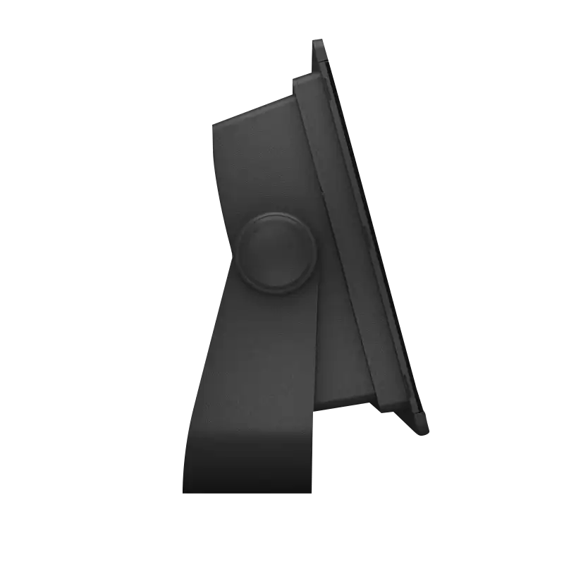
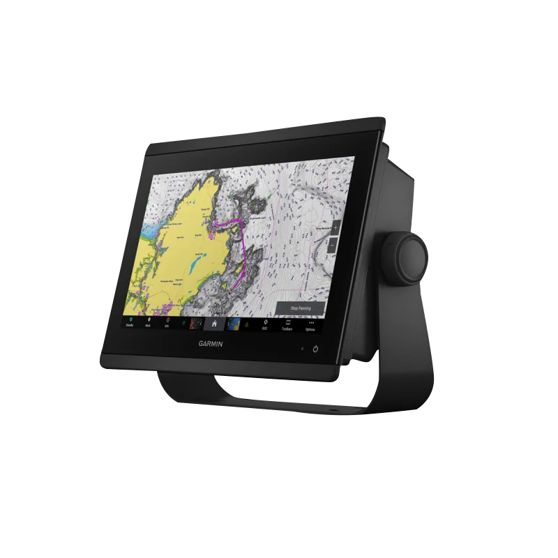
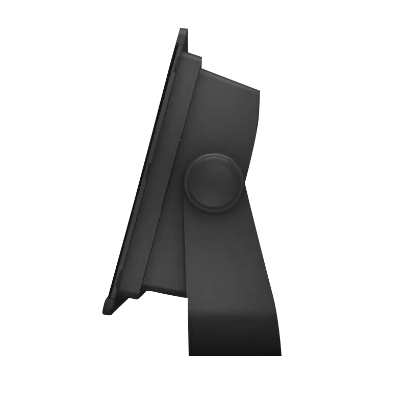
Bail mount with knobs
Flush mount kit
Sun cover
Trim piece snap covers
Documentation
¿Tiene una unidad GPS vieja por ahí? El programa Trade In and Up de GPS Nation es una excelente manera de canjear su GPS viejo y usado por crédito para un nuevo GPS. ¡La decisión es completamente suya! Hemos simplificado y optimizado el proceso. Siga estos sencillos pasos y estará en camino de recibir crédito para su nuevo GPS.
1. Obtenga una cotización
Para obtener una cotización gratuita, proporcione el tipo, el fabricante, el modelo y el estado de su GPS. En un plazo de 24 horas, recibirá una cotización por el valor de intercambio de su producto actual. El formulario de intercambio de GPS se encuentra en la parte inferior de esta página.
2. Envíe su(s) producto(s) para comercializarlos
Después de aceptar nuestra oferta, empaquete sus productos de forma segura y envíenoslos utilizando la etiqueta de envío prepaga que le proporcionamos. Le enviaremos un correo electrónico de confirmación cuando su canje llegue a nuestro almacén. Tiene 30 días a partir de la fecha en que complete su canje en línea para enviar el producto a GPS Nation.
3. Realiza tu compra
Una vez que recibamos su producto en nuestro almacén y validemos la condición indicada, le enviaremos un correo electrónico de confirmación. Si elige recibir crédito para un nuevo GPS en gpsnation.com, se emitirá su crédito de la tienda y podrá realizar su compra.
Manual y garantía
 Garmin Warranty
Reseñas
Haz una pregunta
Especificaciones
En la caja
Power cable
NMEA 2000® drop cable
NMEA 2000 T-connector
Bail mount with knobs
Flush mount kit
Sun cover
Trim piece snap covers
Documentation
Programa de canje
¿Tiene una unidad GPS vieja por ahí? El programa Trade In and Up de GPS Nation es una excelente manera de canjear su GPS viejo y usado por crédito para un nuevo GPS. ¡La decisión es completamente suya! Hemos simplificado y optimizado el proceso. Siga estos sencillos pasos y estará en camino de recibir crédito para su nuevo GPS.
1. Obtenga una cotización
Para obtener una cotización gratuita, proporcione el tipo, el fabricante, el modelo y el estado de su GPS. En un plazo de 24 horas, recibirá una cotización por el valor de intercambio de su producto actual. El formulario de intercambio de GPS se encuentra en la parte inferior de esta página.
2. Envíe su(s) producto(s) para comercializarlos
Después de aceptar nuestra oferta, empaquete sus productos de forma segura y envíenoslos utilizando la etiqueta de envío prepaga que le proporcionamos. Le enviaremos un correo electrónico de confirmación cuando su canje llegue a nuestro almacén. Tiene 30 días a partir de la fecha en que complete su canje en línea para enviar el producto a GPS Nation.
3. Realiza tu compra
Una vez que recibamos su producto en nuestro almacén y validemos la condición indicada, le enviaremos un correo electrónico de confirmación. Si elige recibir crédito para un nuevo GPS en gpsnation.com, se emitirá su crédito de la tienda y podrá realizar su compra.
Manual y garantía
Descripción general
Garmin GPSMAP 8612 With Mapping (010-02092-50) Professional Marine Chartplotter and Sonar Combo
Introduction
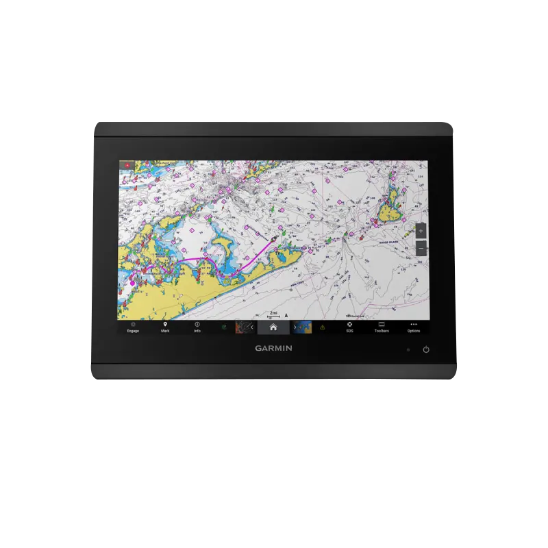
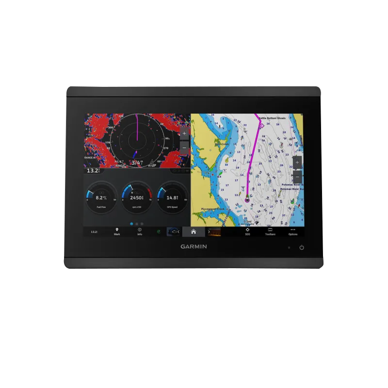
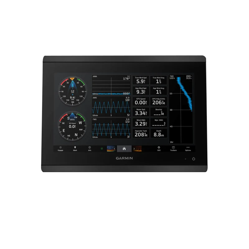
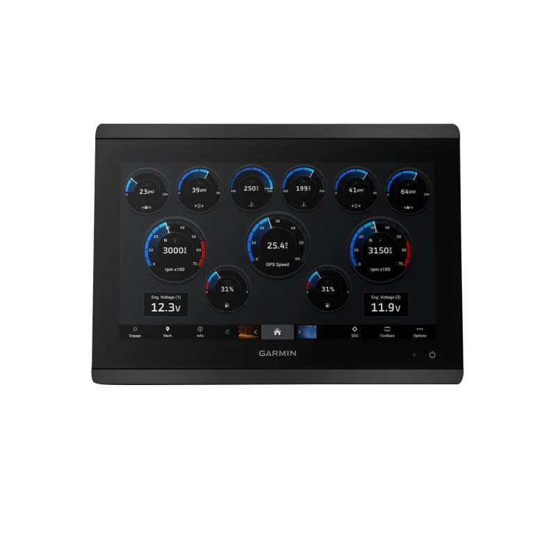
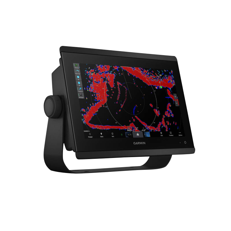
The Garmin GPSMAP 8612 is a professional-grade marine chartplotter and sonar system engineered for serious anglers, sailors, cruisers, and racers who demand superior navigation and fishing performance. This integrated device combines a 1-kW dual-channel CHIRP sonar system with preloaded marine mapping to deliver real-time underwater target detection and precise navigation across coastal and inland waters. The GPSMAP 8612 is built to enhance your on-water efficiency and safety by consolidating critical navigation and sonar data into a single intuitive platform.
Key Features
- 12-inch Full HD IPS touchscreen with 1920 x 1200 pixel resolution for superior clarity and wide viewing angles
- 1-kW dual-channel CHIRP sonar capable of scanning depths up to 1,000 feet below and around your vessel
- Preloaded Garmin Navionics+ mapping with Auto Guidance+ technology for coastal and inland waterway navigation
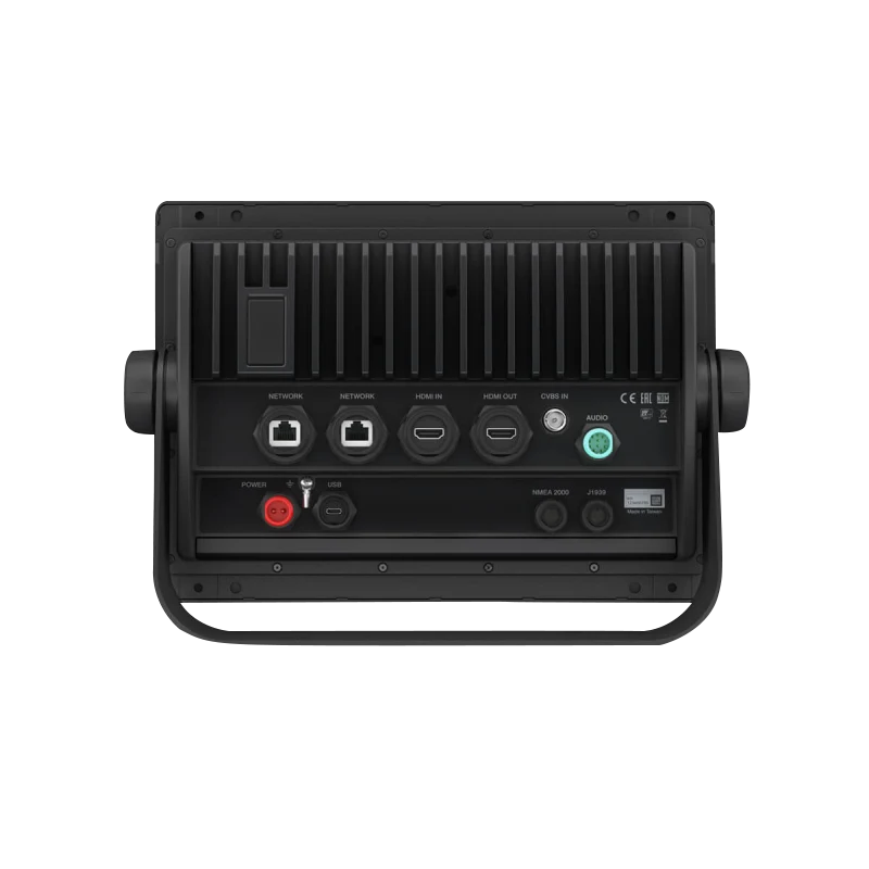
- NMEA 2000 connectivity enabling seamless integration with autopilots, AIS, and other marine devices
- Live Sonar compatibility allowing pairing with Garmin's real-time sonar systems for underwater structure mapping
- Power-Pole shallow-water anchor integration for direct control from the chartplotter display
- Bluetooth and Wi-Fi connectivity for ActiveCaptain app updates and community-sourced navigational insights
Data Insights
The GPSMAP 8612's dual-channel sonar architecture with 1-kW transmit power delivers exceptional target separation and bathymetric detail across multiple frequency ranges. Testing demonstrates that integrated chartplotter systems like the GPSMAP 8612 improve navigation efficiency by up to 30 percent compared to standalone GPS units, primarily through automated waypoint guidance, preloaded chart accuracy, and consolidated data display. The combination of high-resolution mapping and advanced sonar scanning reduces navigation planning time and increases fishing precision by pinpointing underwater structure and baitfish concentrations in real-time.
Usage Instructions
For optimal performance, mount the GPSMAP 8612 in a protected location with clear antenna access, using either the flush-mount or surface-mount bracket designed for marine environments. Connect the sonar transducer and NMEA 2000 network according to installation guidelines, then initialize SmartMode Station Controls to customize your dashboard with frequently accessed functions. Download the ActiveCaptain app to your mobile device and pair via Bluetooth to receive automatic mapping updates, community edits, and real-time weather data that enhance your navigation experience throughout the season.
Design & Material
The GPSMAP 8612 combines rugged marine engineering with a modern, compact form factor designed to integrate seamlessly into diverse helm configurations without sacrificing functionality or aesthetics. The unit is constructed specifically to withstand the corrosive salt-spray environment and temperature fluctuations typical of marine operations.
- Marine-grade aluminum and polymer construction resists saltwater corrosion and UV degradation
- Sunlight-readable IPS display maintains clarity in direct sunlight and works with polarized sunglasses
- Compact footprint fits flush-mounted or surface-mounted installations on vessels ranging from small center consoles to larger cruisers
- Flat bezel design with intuitive button layout below the touchscreen for hardware-based operation and emergency navigation backup
- Optional GRID 20 wireless remote control extends operational range across the vessel for piloting flexibility
- Sealed connectors and integrated drip shield protect sonar and network connections from spray and precipitation exposure
Final Verdict
The Garmin GPSMAP 8612 integrates professional-grade sonar, preloaded marine mapping, and robust device networking into a single display platform that eliminates navigation uncertainty and maximizes fishing productivity. With 1,000-foot sonar depth capability, dual-channel CHIRP technology, and real-time data sharing through ActiveCaptain, this chartplotter delivers actionable intelligence that justifies its position as a core system for serious water sports enthusiasts. Invest in the GPSMAP 8612 to navigate with confidence, fish more effectively, and experience the efficiency gains that professional-grade marine electronics provide on every outing.


