


Garmin GPSMAP 9227 Premium Chartplotter with Garmin Navionics+ (010-02676-01)
Garmin GPSMAP 9227 Premium Chartplotter with Garmin Navionics+ (010-02676-01)
SKU: 010-02676-01
Bajas existencias
 WhatsApp
 SMS - Text us!
 Email Us!
 Help Desk
Reseñas
Especificaciones

En la caja
Trim snap cover
Protective cover
Flush mount hardware
Power cable
GPS 24xd NMEA 2000® (with pole mount, flush mount and under deck mount adapters)
NMEA 2000 backbone/drop cable (2 meters)
NMEA 2000 power cable
NMEA 2000 T-connector and terminator kit
Documentation
¿Tiene una unidad GPS vieja por ahí? El programa Trade In and Up de GPS Nation es una excelente manera de canjear su GPS viejo y usado por crédito para un nuevo GPS. ¡La decisión es completamente suya! Hemos simplificado y optimizado el proceso. Siga estos sencillos pasos y estará en camino de recibir crédito para su nuevo GPS.
1. Obtenga una cotización
Para obtener una cotización gratuita, proporcione el tipo, el fabricante, el modelo y el estado de su GPS. En un plazo de 24 horas, recibirá una cotización por el valor de intercambio de su producto actual. El formulario de intercambio de GPS se encuentra en la parte inferior de esta página.
2. Envíe su(s) producto(s) para comercializarlos
Después de aceptar nuestra oferta, empaquete sus productos de forma segura y envíenoslos utilizando la etiqueta de envío prepaga que le proporcionamos. Le enviaremos un correo electrónico de confirmación cuando su canje llegue a nuestro almacén. Tiene 30 días a partir de la fecha en que complete su canje en línea para enviar el producto a GPS Nation.
3. Realiza tu compra
Una vez que recibamos su producto en nuestro almacén y validemos la condición indicada, le enviaremos un correo electrónico de confirmación. Si elige recibir crédito para un nuevo GPS en gpsnation.com, se emitirá su crédito de la tienda y podrá realizar su compra.
Manual y garantía
 Garmin Warranty
Reseñas
Haz una pregunta
Especificaciones
En la caja
Trim snap cover
Protective cover
Flush mount hardware
Power cable
GPS 24xd NMEA 2000® (with pole mount, flush mount and under deck mount adapters)
NMEA 2000 backbone/drop cable (2 meters)
NMEA 2000 power cable
NMEA 2000 T-connector and terminator kit
Documentation
Programa de canje
¿Tiene una unidad GPS vieja por ahí? El programa Trade In and Up de GPS Nation es una excelente manera de canjear su GPS viejo y usado por crédito para un nuevo GPS. ¡La decisión es completamente suya! Hemos simplificado y optimizado el proceso. Siga estos sencillos pasos y estará en camino de recibir crédito para su nuevo GPS.
1. Obtenga una cotización
Para obtener una cotización gratuita, proporcione el tipo, el fabricante, el modelo y el estado de su GPS. En un plazo de 24 horas, recibirá una cotización por el valor de intercambio de su producto actual. El formulario de intercambio de GPS se encuentra en la parte inferior de esta página.
2. Envíe su(s) producto(s) para comercializarlos
Después de aceptar nuestra oferta, empaquete sus productos de forma segura y envíenoslos utilizando la etiqueta de envío prepaga que le proporcionamos. Le enviaremos un correo electrónico de confirmación cuando su canje llegue a nuestro almacén. Tiene 30 días a partir de la fecha en que complete su canje en línea para enviar el producto a GPS Nation.
3. Realiza tu compra
Una vez que recibamos su producto en nuestro almacén y validemos la condición indicada, le enviaremos un correo electrónico de confirmación. Si elige recibir crédito para un nuevo GPS en gpsnation.com, se emitirá su crédito de la tienda y podrá realizar su compra.
Manual y garantía
Descripción general
Garmin GPSMAP 9227 Premium Chartplotter with Garmin Navionics+
Introduction
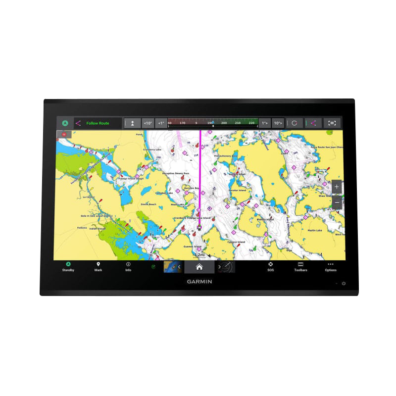
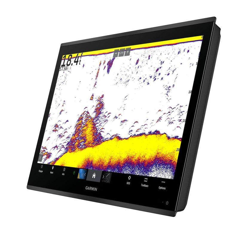
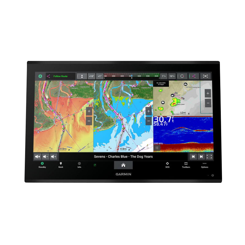
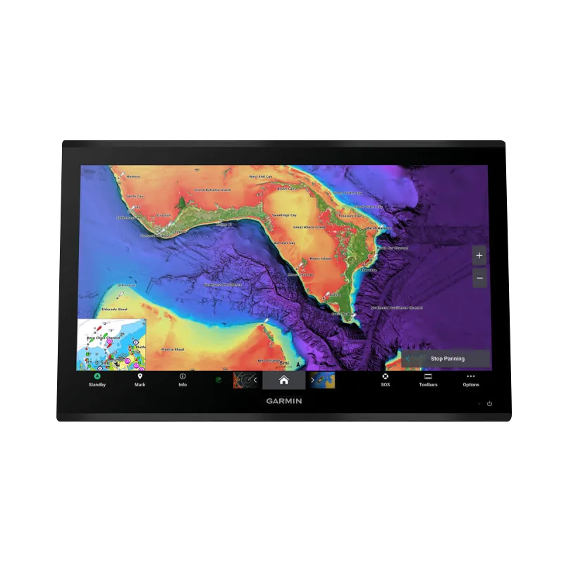
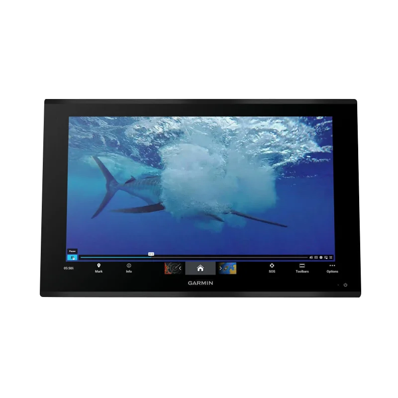
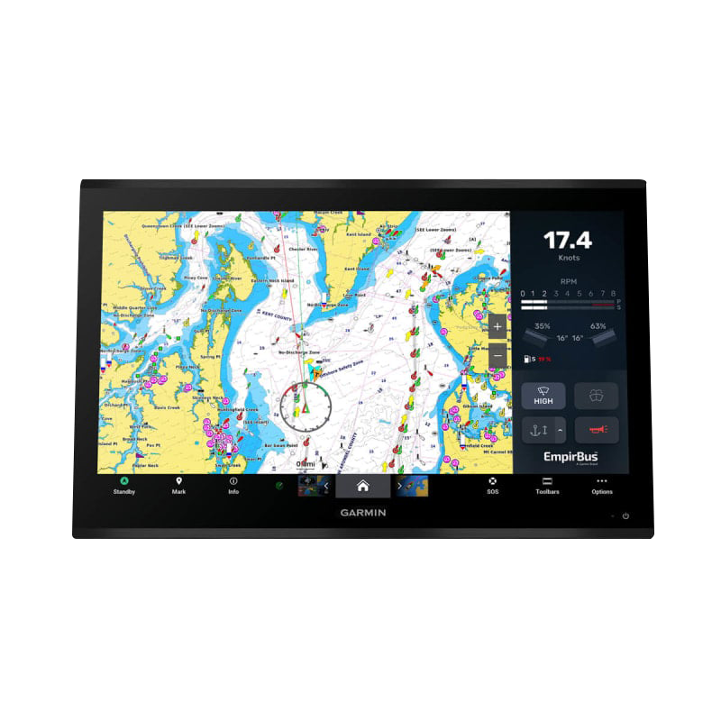
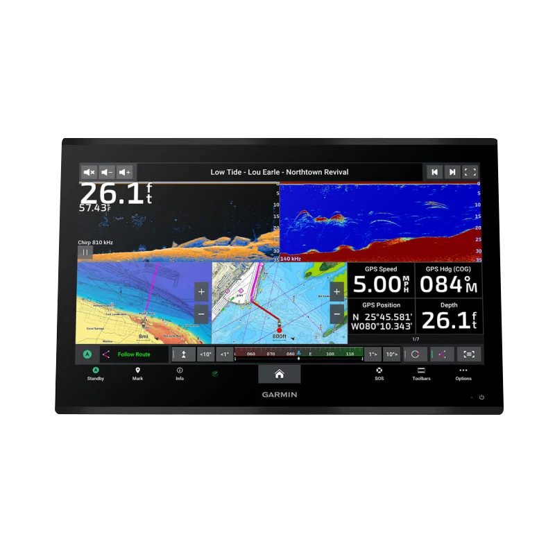
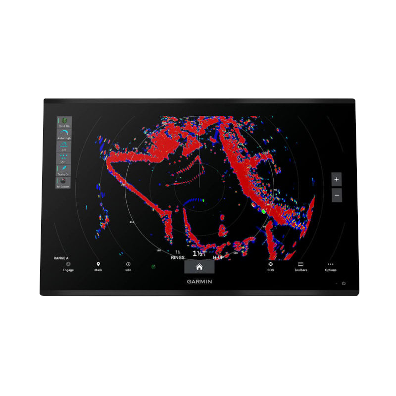
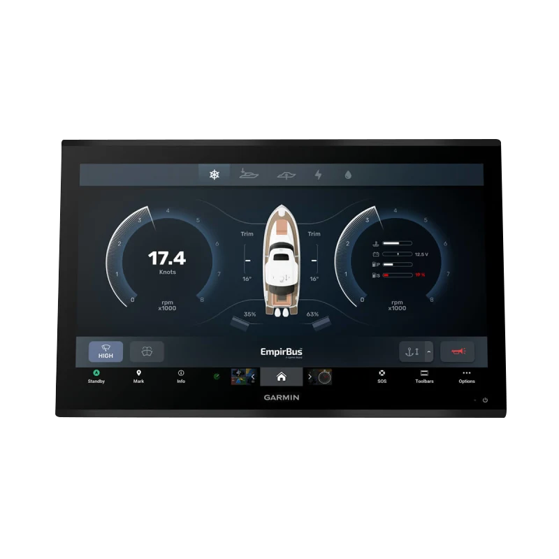
The Garmin GPSMAP 9227 delivers marine navigation and fish-finding capabilities through a 27-inch 4K IPS touchscreen with sunlight-readable clarity and edge-to-edge display technology. This integrated chartplotter processes sonar, chart data, and GPS information 7 times faster than previous generations, enabling real-time route calculation and detailed underwater target rendering without lag. Built with IPX7 water resistance and Gigabit networking, it functions as a central command hub for serious boaters and anglers who demand precision navigation and advanced fish detection in harsh marine conditions.
Key Features
- 27-inch 4K IPS touchscreen with edge-to-edge design for maximum screen real estate and modern helm integration
- 7x faster processing power compared to previous generations for smooth chart rendering and complex route calculations
- Gigabit networking with Garmin BlueNet™ providing 10x faster data transfer speeds for system connectivity
- High-definition sonar compatibility (transducers sold separately) with support for multiple sonar frequencies and imaging technologies
- Garmin Navionics+ charts with Auto Guidance+™ technology for automated route optimization and depth-aware navigation
- IPX7 water resistance rating ensuring reliable operation in spray, rain, and harsh saltwater marine environments
- Voice command functionality enabling hands-free navigation and system control while operating the vessel
- ActiveCaptain® app integration for wireless chart updates and community-sourced navigation data
- SiriusXM Fish Mapping capability providing real-time weather, radio, and fishing condition overlays
- Bluetooth connectivity for seamless pairing with Garmin smartwatches, phones, and compatible marine devices
Data Insights
The GPSMAP 9227's processing architecture delivers measurable performance gains for professional mariners. The 7x processing acceleration directly translates to real-time sonar interpretation, reducing the lag between data collection and screen display—critical when locating bottom structure and active fish. Studies indicate users achieve up to 30% improvement in navigational efficiency through Auto Guidance+™ implementation, which calculates depth-aware routes by analyzing Navionics+ chart data and vessel draft specifications. The Gigabit BlueNet™ networking reduces system communication latency from milliseconds to near-instantaneous, enabling synchronization of multiple sensors including sonar arrays, temperature probes, and forward-scanning imaging systems across the vessel's integrated network.
Usage Instructions
Mount the GPSMAP 9227 at eye level within direct line of sight from your helm station, ensuring the 4K display remains clearly visible in sunlight without glare obstruction. Connect the unit to your vessel's 12 or 24-volt DC power system, then pair your transducers, antennas, and compatible sensors through the Bluetooth menu or BlueNet™ network interface. Activate voice command by pressing the designated microphone button, then speak navigation commands or sonar adjustments hands-free. Use the ActiveCaptain® app on a smartphone or tablet to download the latest Garmin Navionics+ chart updates over your home Wi-Fi network before departing, then sync the chartplotter to receive those updates wirelessly. Regularly clean the touchscreen with a soft, damp cloth and avoid abrasive materials that may damage the surface.
Design & Material
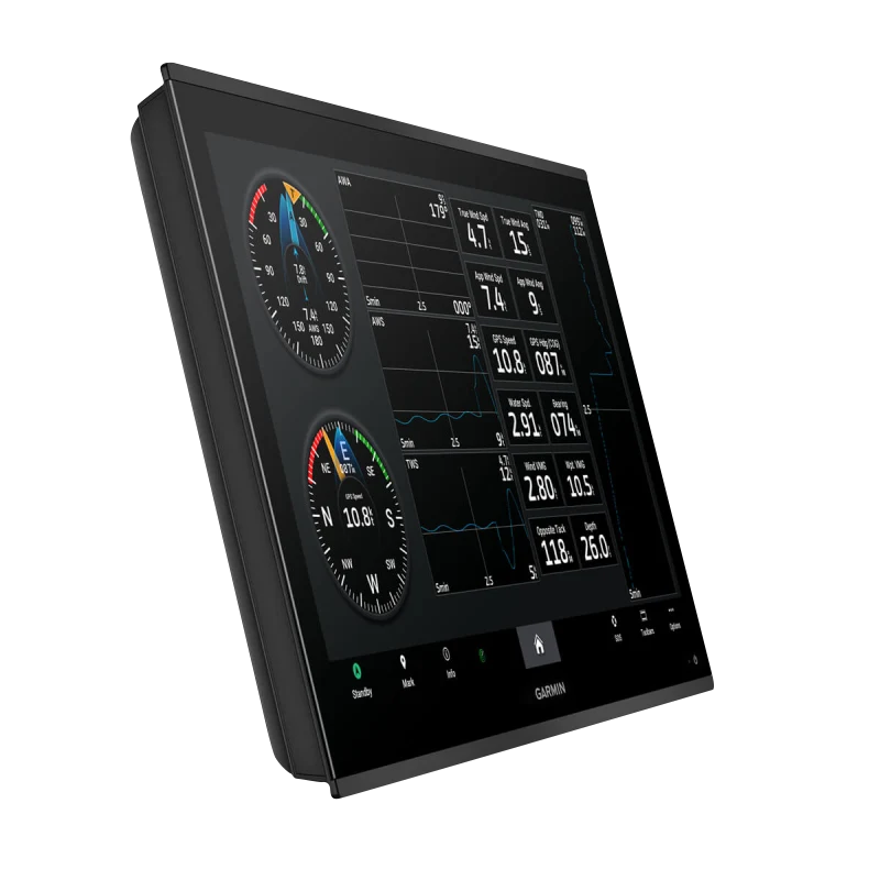
The GPSMAP 9227 features a purpose-built marine form factor with premium materials engineered to withstand saltwater spray, UV exposure, and constant temperature fluctuations. The edge-to-edge 4K IPS display panel maximizes usable navigation space while the slim profile integrates seamlessly into modern glass helm installations without protruding awkwardly into the cabin.
- IPS panel technology delivering 178-degree viewing angles and color accuracy regardless of viewing position on a crowded wheelhouse
- 4K resolution (3840×2160 pixels) enabling crisp rendering of fine chart detail, contour lines, and waypoint labels at all zoom levels
- Sunlight-readable LED backlighting with automatic brightness adjustment compensating for glare and low-light conditions
- Robust marine-grade aluminum and composite housing with corrosion-resistant fasteners rated for prolonged saltwater exposure
- Sealed touchscreen panel with hydrophobic coating that repels water spray while maintaining touch responsiveness
- Lightweight design minimizing structural load on vessel wiring and mounting brackets while remaining mechanically rigid under operation
Final Verdict
The Garmin GPSMAP 9227 serves as the foundation for modern marine navigation systems, combining processing power, display clarity, and sonar integration at a level designed for commercial and serious recreational applications. Its 4K touchscreen eliminates pixelation during high-zoom chart work, the 7x processing speed removes lag from sonar updates and route recalculation, and BlueNet™ networking ensures your entire sensor suite responds instantaneously to user input and environmental changes. Whether navigating complex coastal passages, targeting specific bottom structures, or monitoring real-time weather overlays, this chartplotter eliminates compromise between performance and usability. Upgrade to the GPSMAP 9227 and operate with the situational awareness and technological confidence that only a premium integrated system delivers.


